blah blah blah
Turtleback Mountain
Length: 7.2 miles out-and-backDifficulty (click for info): Moderate
Elevation Gain: 1040 feet (+60 feet on return)
Rating (click for info): 4/10
Elevation: 2203'
Prominence: 153'
Driving Directions:
Trailhead and parking area are on Ossipee Park Road in Moultonborough, NH. Ossipee Park Road starts on the northeast side of Rt. 171, 0.5 miles east of Rt. 109. Drive about 1.5 miles up Osipee Park Road. Parking is available at a small pull-off on the right with a kiosk just after the gate or along the road past Cones in the Clouds Ice Cream. Click here for a Google map.
About the Hike:
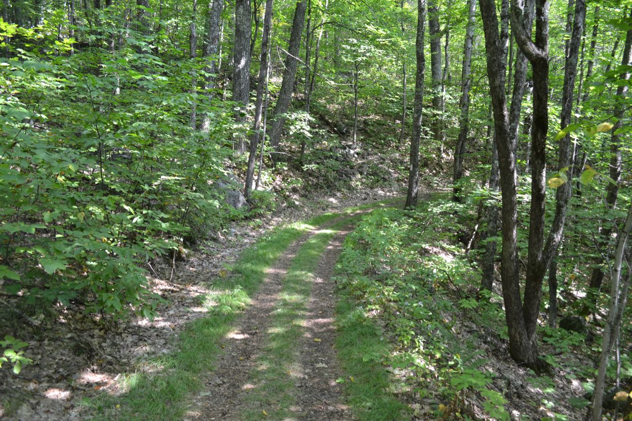
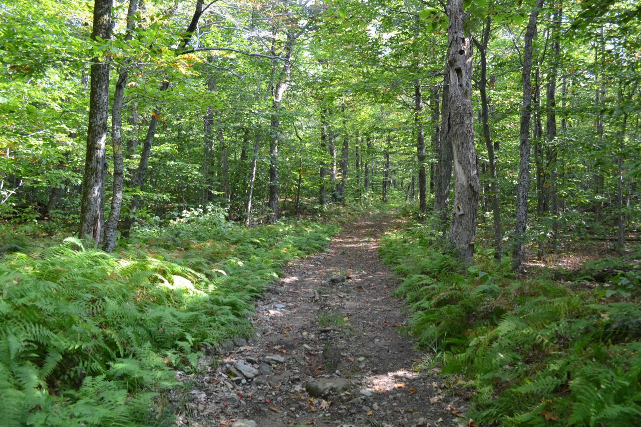
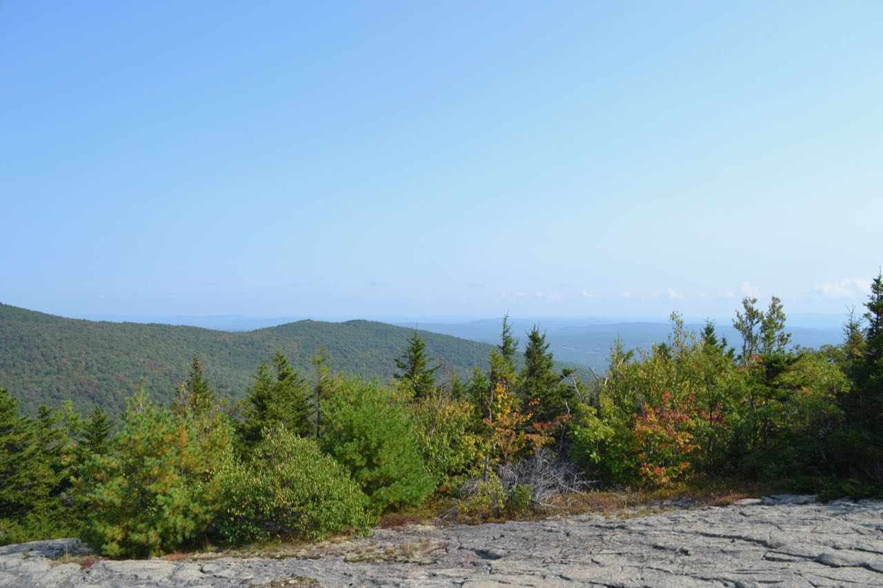
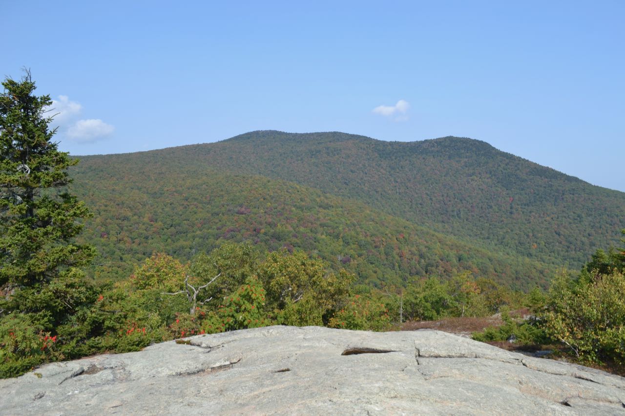
Turtleback Mountain is a minor knob on the ridge between two more famous places, Mt. Shaw and Bald Knob. Its summit has open ledges, which would probably see more hiker traffic if they faced to the south toward the lakes. Instead, they face toward the interior of the Ossipees, where most of the vista is taken up by the nearby hillside. Still, it is a great place to view foliage in the fall, as most of the terrain in view has deciduous trees. The summit is within the LRCT's Castle in the Clouds Conservation Area and can be reached through their extensive network of hiking trails built on old roads and carriage paths. Ultimately this makes the hike both very gentle the entire way and about twice as long as it needs to be. Fortunately, it is rather pleasant walking on all the old, grassy roads.
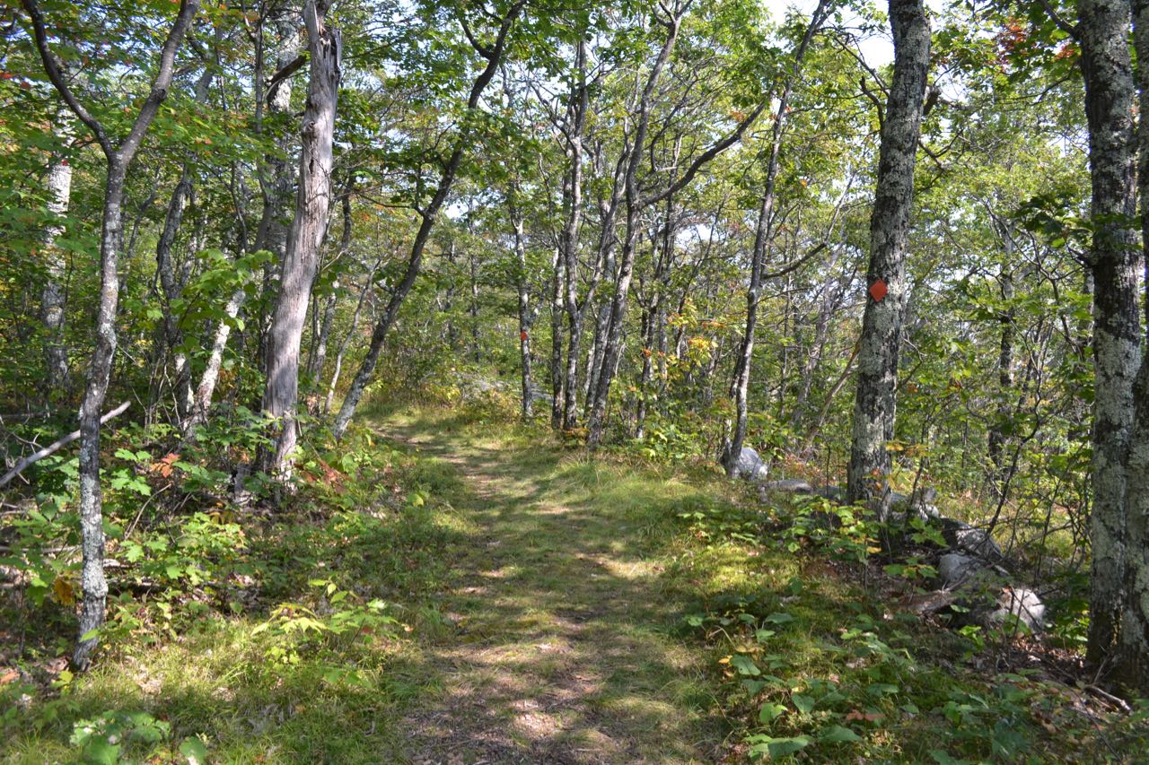
From the parking area, walk down to Shannon Pond and follow the path across the dam to the other side. Pass the entrance to Pond Trail on the left, then take the second of two left forks into the woods near a kiosk (the first is Lower Bridle Path; you want the Turtleback Mountain Trail). The old road passes a historical marker and runs mostly flat for 0.4 miles, then passes a short unnamed trail on the right leading down to Shannon Brook Trail. Soon after, proceed straight through a large triangle junction with Oak Ridge Trail on the left over the next 0.1 miles. The old road then swings left and begins a very slight ascent in a brook valley. In 0.65 miles, continue straight through another, smaller triangle junction with Faraway Mountain Trail on the left. The road heads across the hillside toward the brook in the middle of the valley, crossing it on a bridge in 0.2 miles. The road continues at flat to downhill grades out the other side of the brook valley for 0.3 miles, then begins a tedious ascent on excessively long switchbacks, which like the rest of the trail, were built for carriages rather than walking. Over the next 0.55 miles, the old road takes eight switchbacks to climb 250 feet. At the turn of the fifth switchback, Bald Knob Trail departs to the right, leading 0.6 miles to Bald Knob. After the eighth switchback, the road continues gradually across the hillside to the south for 0.3 miles before making one more switchback. Then, the trail heads back to the north and swings right up into the col between Turtleback Mountain and the high ridge of the Ossipees. At this point, turn right onto Turtleback Summit Trail, a spur trail which is also an old carriage road. This trail wraps around the south side of the peak, passing through grassy glades, then makes a few switchbacks to reach the summit in 0.4 miles. From the ledgy summit, you look up to the mass of Mt. Shaw and Black Snout. To the east, you have a slight view into the distance beyond Big Ball Mountain.
Printable directions page